

The New Pictorial Map of London 1930
The New Pictorial Map of London 1930
Regular price
£97.00 GBP
Regular price
Sale price
£97.00 GBP
Unit price
per
Tax included.
Shipping calculated at checkout.
Couldn't load pickup availability
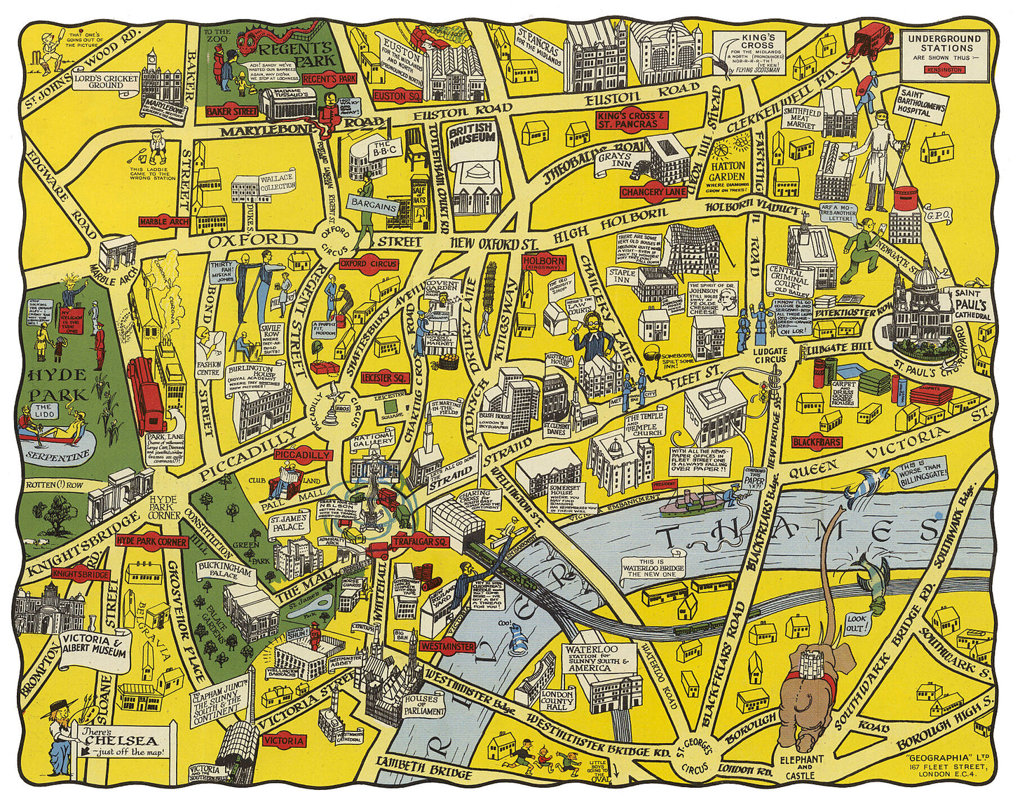
Pictorial map of London covering the area from Victoria and Albert Museum to St. Paul's Cathedral, from Euston Road to Elephant and Castle. The map is filled with small figures, place manes, landmarks, buildings and people in various activities. It shows the roads, railroads, underground stations, palaces of interest, and parks of the time.
Mapmaker: Geographia
Printed on 290gsm matt smooth Hahnemühle Bamboo. Genuine art paper offering maximum age resistance. Made from 90% bamboo fibre and 10% cotton it combines art with environmental friendliness.
Handmade to order.
All map prints are sent unframed, unless otherwise requested.
Shipping: Royal Mail or Deutsche post.
Find us on Redbubble for more products.