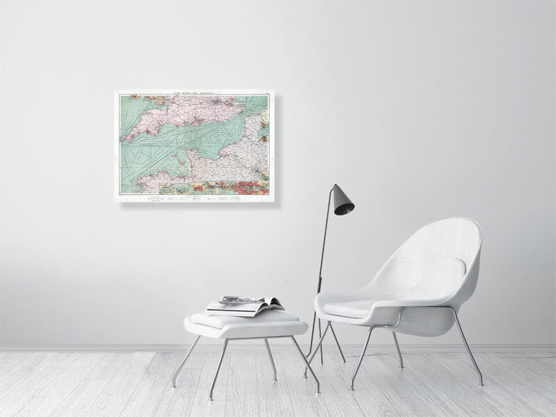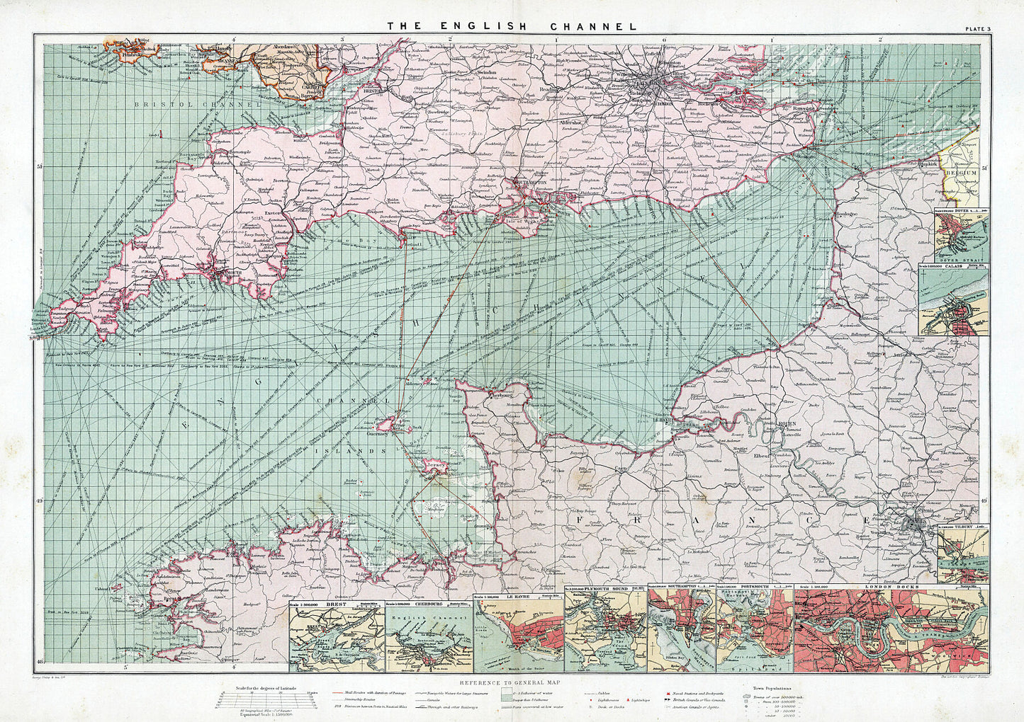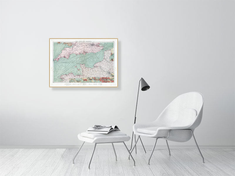


The English Channel 1905
The English Channel 1905
Couldn't load pickup availability
Coloured map with ten insets: Brest; Cherbourg; Le Havre; Plymouth Sound; Southampton; Portsmouth; London docks; Tilbury; Calais and Dover. Includes political divisions, towns, populations, mail routes, steamship routes, distances, principal railways, telegraph cables, navigable waters, canals, lighthouses, harbours, British and American consular offices, naval stations and dockyards.
Published by the London Geographical Institute in 1905.
Printed on 290gsm matt smooth Hahnemühle Bamboo. Genuine art paper offering maximum age resistance. Made from 90% bamboo fibre and 10% cotton it combines art with environmental friendliness.
Handmade to order.
Optional: Professionally mounted in a solid wood oak frame.
Shipping: Royal Mail or Deutsche post.
Find us on Redbubble for more products.